GIS Course: 2D and 3D Mapping with Drones, May 5 & 6
Take Your GIS Mapping to New Heights
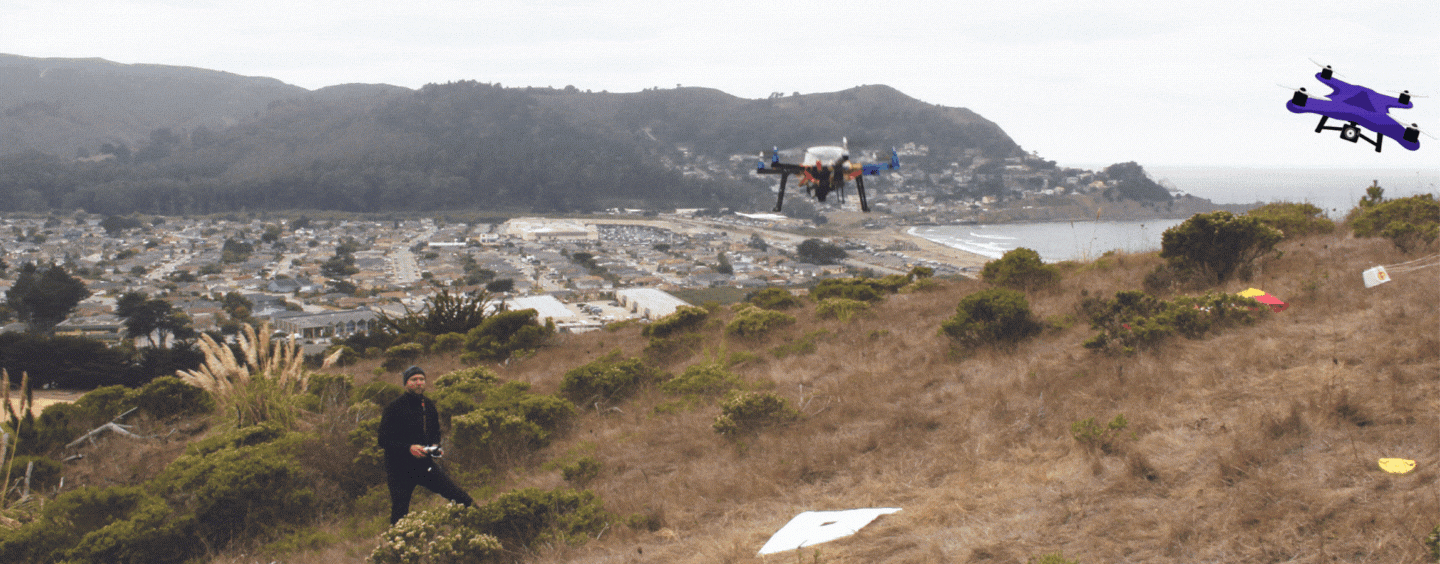
Our two-day Geographic Information Systems course, 2D and 3D Mapping with Drones will be held May 5 and May 6, 2023. Students will get hands-on practice with drones in the field, with guidance from instructor Jerry Davis, director of the Institute for Geographic Information Science.
Course Description
2D and 3D Mapping with Drones
Collection of imagery with drone-mounted cameras and processing into georeferenced imagery and 3D models using photogrammetric and image analysis methods in Pix4D and ArcGIS. For 2D mapping, the focus is on multispectral imagery increasingly used for precision agriculture and biogeographic analysis; vegetation health indices such as the normalized difference vegetation index will be derived. For 3D mapping we'll primarily use color imagery for capturing landform features such as hillslopes, gullies and landslides, but also features and structures in the built environment. We'll also explore methods of capturing and processing ground control points for georeferencing and accuracy checking.
More Information
See the GIS class schedule to register for this course.
Related News